Is Monteverde High Altitude? What First-Time Visitors Should Know
Monteverde is high enough to change the weather and low enough that almost nobody feels it in their lungs. The practical effect is temperature, not oxygen.
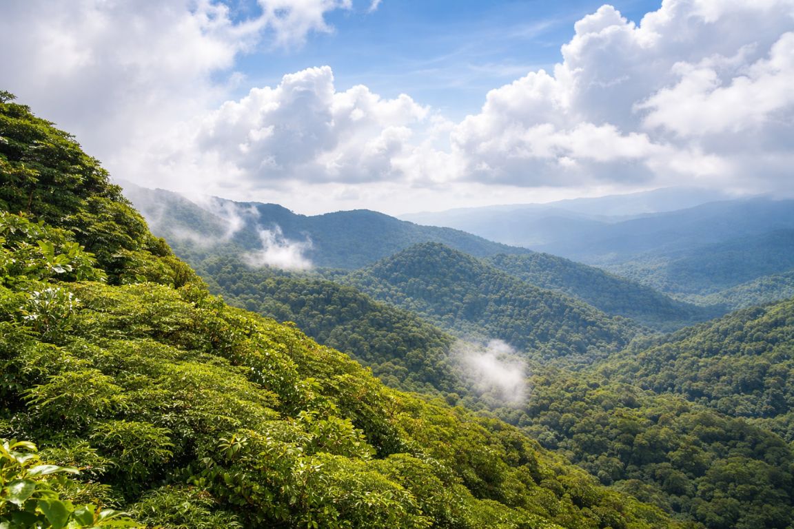
People ask this question for two different reasons. Some want a number for a spreadsheet. Others are quietly worried about headaches, breathlessness and whether they need to acclimatise before hiking. The honest answer covers both, and it is more reassuring than the question usually expects.
Choose a route for its terrain and duration, then confirm individual requirements. Elevation alone does not establish suitability.
Booking Choice. Explore the main reserve with a naturalist and shared spotting scope. Explore Monteverde Reserve Naturalist Walk
How high is Monteverde, exactly?
Monteverde sits at roughly 1,400 to 1,600 metres, around 4,600 to 5,250 feet, strung along the Continental Divide in the Tilarán mountains. The town of Santa Elena sits toward the lower end of that band, and the reserve trails climb from there, with the ridge itself higher again.
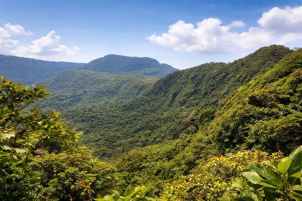
For scale: that is about the elevation of Denver. It is higher than San José, which sits near 1,170 metres in the Central Valley, and it is a completely different world from the Guanacaste beaches at sea level a couple of hours away. What makes the number feel bigger than it is on paper is the position. Monteverde is not on a plateau, it is on the spine of the country, where the Pacific and Caribbean weather systems collide.
| Place | Approximate elevation | How it compares |
|---|---|---|
| Guanacaste beaches | Sea level | Hot, dry, nothing like the mountains |
| San José, Costa Rica | About 1,170 m (3,840 ft) | Mild Central Valley climate |
| Monteverde and Santa Elena | About 1,400 to 1,600 m (4,600 to 5,250 ft) | Cool, misty, windy year-round |
| Denver, Colorado | About 1,600 m (5,280 ft) | Roughly the same height as Monteverde |
| Quito, Ecuador | About 2,850 m (9,350 ft) | Nearly twice as high; altitude is a real factor |
| Cusco, Peru | About 3,400 m (11,150 ft) | Where visitors genuinely need to acclimatise |
Do people get altitude sickness in Monteverde?
Realistically, no. Acute mountain sickness usually becomes a common concern above about 2,500 metres, roughly 8,200 feet, and Monteverde sits well under that. The overwhelming majority of visitors notice nothing at all beyond being pleasantly cool for the first time on their trip.
That holds even for people arriving straight off a long flight and driving up the same day. No acclimatisation day is needed. No coca tea, no altitude tablets, no staged ascent. If you have travelled in the Andes and remember the first night in Cusco, put that memory aside completely, because it does not apply here.
Two honest caveats. Anyone with significant heart or lung conditions should raise any trip involving hills with their own doctor, and that advice would be the same for a hilly city at sea level. And a small number of people do report mild breathlessness on the steeper climbs, which is almost always the gradient doing the work rather than the air. Santa Elena is built on a slope. Nothing in town is flat.
So what does the elevation actually change?
Temperature, and by a wider margin than most visitors plan for. Monteverde runs between about 14°C and 24°C, roughly 57°F to 75°F, all year. Evenings drop to the bottom of that range and below once the wind gets going, which is a genuine shock if you flew in from a beach that morning.
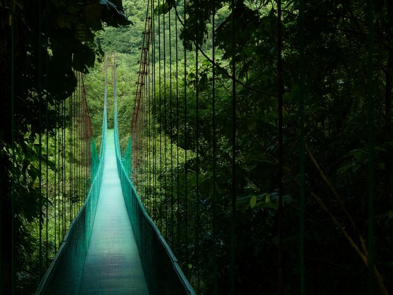
This is the part that ruins trips, not the oxygen. People pack for Costa Rica, meaning shorts and a swimsuit, and then spend three days cold and damp in a forest that generates its own weather. The forest stays wet even on clear days because the mist moves horizontally through it rather than falling as rain. A waterproof shell, a fleece and footwear with grip cover almost everything. Our guide on what to wear in Monteverde goes through the layering system in detail, and the short version is that a medium-weight fleece is the single most used item anyone brings.
Why does it feel so much colder than the rest of Costa Rica?
Because you are standing where two ocean weather systems meet. Trade winds push moist air up the slopes from both sides, it condenses at this elevation, and the result is near-permanent cloud moving through the canopy. Wind plus damp reads as much colder than the thermometer suggests.
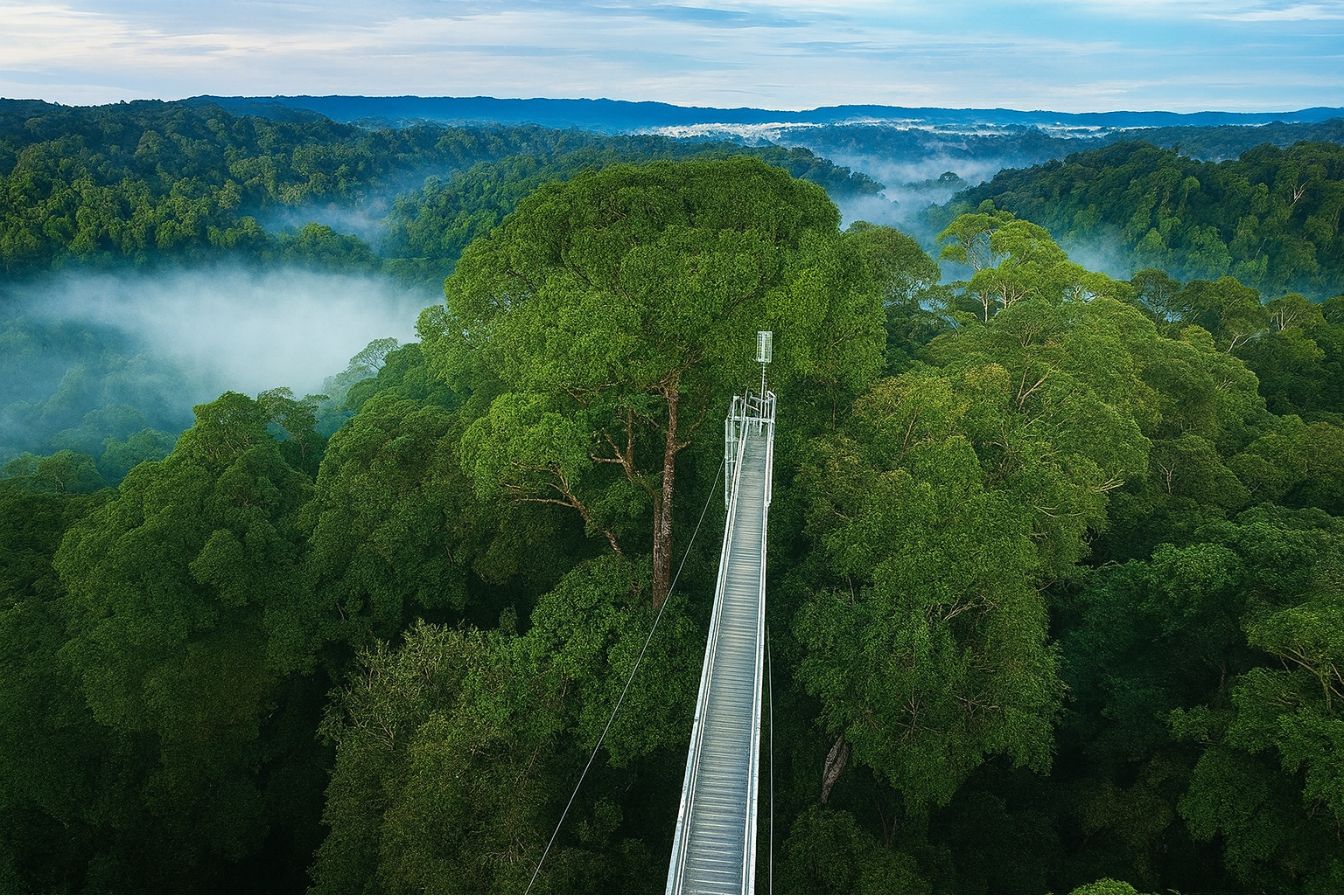
The windy season, roughly November through February, is when this bites hardest. January can sit around 15°C with a sustained wind that makes it feel considerably cooler, particularly on exposed ridge sections like the walk out to the La Ventana viewpoint. Standing still makes it worse, which is why guides tell people to put the warm layer on before a night walk rather than twenty minutes into one.
Does the altitude make hiking harder?
The terrain does, the air does not. Reserve trails are well maintained but uneven, root-crossed and damp, and the longer circuits involve real climbing. The 4.1 km Continental Divide Trail includes a steep section up to the viewpoint that most people feel in their legs rather than their chest.
Pick the circuit honestly rather than optimistically. The Essence Trail at 1.4 km is a gentle introduction and works for almost everyone. The Heart of Forest Trail at 2.8 km suits most reasonably fit adults and includes the hanging bridge. Only take on the Continental Divide circuit if you actually want the climb, and note that cloud sits at that elevation often enough that the view at the top is a coin flip. Our reserve guide covers which trail circuit fits which visitor.
Is there anything else the elevation changes?
Two smaller things, both worth knowing. Ultraviolet exposure is stronger here than it feels on an overcast day, so sunscreen matters even when you never see the sun. And insect pressure is noticeably lower than in Costa Rica's lowland rainforests, which means bug spray is far less of a priority than the rain jacket.
That second point surprises people who have been warned about mosquitoes elsewhere in the country. Bring repellent for evenings if you like, but do not let it displace the waterproofs in your bag. The wildlife trade-off runs the same way: the cool, wet conditions that make you reach for a fleece are exactly the conditions that produce the cloud forest's amphibians, its orchids and the wild avocado trees that draw in the resplendent quetzal. You are cold because the ecosystem is unusual. That is the deal. Once you accept it, the elevation stops being a worry and becomes the reason the place is worth the drive, and the tours we recommend all assume you turn up dressed for it.
Choose Your Monteverde Experience
An editorial starting point, before you enter preferences. Confirm dates, party requirements and extras.
Monteverde Reserve Naturalist Walk
Check your travel date before arranging the rest of this outing. Explore the main reserve with a naturalist and shared spotting scope.
2–3 hours; English/Spanish. Meet at the reserve reception; reserve admission and hotel transport cost extra. Listed ages 3–90, minimum two travellers; confirm the circuit before buying admission.
Choose a date for Viator scheduled departures. Final availability and price are confirmed on Viator.
Choose only what matters. Missing answers keep the recommendation provisional. Individual suitability and exact pickup still need confirmation.
| Monteverde Reserve Naturalist Walk | Explore the main reserve with a naturalist and shared spotting scope. 2–3 hours; English/Spanish. Meet at the reserve reception; reserve admission and hotel transport cost extra. Listed ages 3–90, minimum two travellers; confirm the circuit before buying admission. |
|---|---|
| Private Santa Elena Reserve Walk | Explore Santa Elena’s dense cloud forest with a certified naturalist. 3 hours; English/Spanish. Meet at Santa Elena Reserve; admission and transportation are extra. Ages 6–99, moderate fitness; provider excludes pregnancy and certain back/heart conditions. |
| Curi-Cancha Cloud And Transitional Forest Walk | Discover cloud and transitional forest with a guide and spotting scope. 2.5 hours; English/Spanish, maximum eight. This visits Curi-Cancha, not Monteverde Reserve. Admission is extra; arrange your meeting-point transport. Not suitable under six or with mobility impairments. |
Compare Your Group’s Costs
Enter your own quotes in the same currency for the same people. Include admission, transport and fees on both sides. These are your totals, not live tour prices.
Enter both totals to compare the cost of your independent plan with the guided experience.